High resolution laser scanning provides valuable data for forestry
Forestry information systems
This summer, two large forest areas in the north and in the south were laser scanned with support from Mistra Digital Forest. This high-resolution data will be used across the programme to develop models and digital tools that promote sustainable development in forestry.
–The laser scanning provides unique data that can be used to produce models and results that have broad utility, and which strengthen Mistra Digital Forest's research programme as a whole, says Johan Holmgren, a researcher at SLU. Combined with other data sources from the same areas, we obtain a unique flow of information that helps to monitor conservation values, and to manage forests in a resource-efficient way.
High-resolution laser scanning was carried out over two large areas in Västerbotten and in Halland. It will be used to produce tree maps with sufficient precision to assess the species and the age of individual trees. At the same time, high-resolution aerial photographs of the areas were taken. In parallel, extensive field inventories are being carried out to obtain reference data, and information collected from harvesters equipped with laser scanners.
Detailed models for all Swedish forests
![Fredrikklang 9620 Fotograf Johan Olsson[1]](/media/laqlj4yc/fredrikklang_9620_fotograf_johan_olsson-1.jpg?anchor=center&mode=crop&width=500&rnd=133843501037200000)
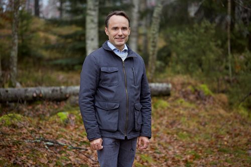
– Laser scanning of forests in both the north and the south is essential in order to obtain data that is interesting for, and relevant to forestry stakeholders throughout the country, says Fredrik Klang, Head of Research and Development at Sveaskog and Chairman of Mistra Digital Forest's Industrial Council. The aim is to develop models for all of Sweden's forests, whether they are pine and spruce stands in the north, or more varied landscapes with more detailed mixed forests in the south.
In the south, a 12.5 x 50 km area was laser-scanned. It included Tönnersjöhedens experimental park, which has a large variety of tree species. The northern test area of 25 x 50 km includes the Krycklan experimental area, which was also laser scanned and inventoried in 2019. In the autumn, the inventory of the approximately 500 test areas was repeated, with funding from the Kempe Foundations.
– The laser scanning was completed at the beginning of September, says Eva Lindberg, Senior Lecturer at the Department of Forest Resource Management at SLU, and work package leader for Forest Information Systems in Mistra Digital Forest. Field inventories are under way in both the southern and the northern areas. The sample plots are inventoried in the same way in both areas, but the choice of sample plots differs slightly to provide a greater variety of tree species in the southern area. In the northern area, we use the same sample plots as in previous inventories in order to get a time series. The inventories are going to be completed in the spring of 2025.
The availability of data from multiple points in time can be used to develop models that assess forest growth, and among other things will be used in the collaboration with Mistra Digital Forest's Norwegian counterpart, SmartForest
‘Helping us understand the value of high-resolution laser data’
![Magnuspetersson 9910 Fotograf Johan Olsson[1]](/media/u1ylmv1s/magnuspetersson_9910_fotograf_johan_olsson-1.jpg?anchor=center&mode=crop&width=500&rnd=133843501420370000)
In one part of the northern area, Komatsu's test machines are collecting large amounts of data that tell us where a tree has grown, its species and its size. Similar data has been collected in the southern area with a harvester equipped with a laser scanner from Nordic Forestry Automation. This data paves the way for new analyses and new methods of information collection, and will be tested as reference data for remote sensing methods.
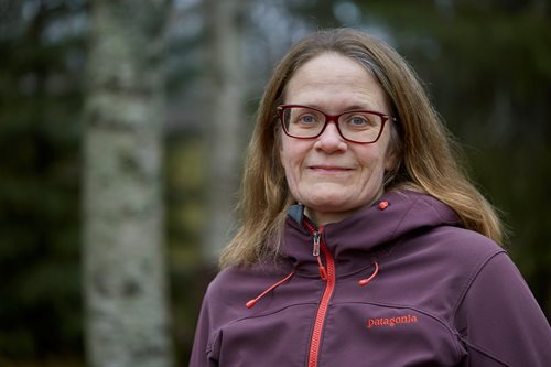
– The combination of data sources creates added value for our members says Magnus Petersson, Forestry Manager at Södra. Being able to identify tree species with a high degree of accuracy is of great interest to the many forest owners who want to manage a diversified forest, with coniferous and deciduous trees. I believe that this can contribute to more dynamic and up-to-date digital forest management plans.
![Clas Engström Fotograf Johan Olsson[1]](/media/w33l0eiw/clas_engström_fotograf_johan_olsson-1.png?anchor=center&mode=crop&width=500&rnd=133843500751270000)
In addition to Mistra Digital Forest, Södra, Holmen, Sveaskog, SLU and the Kempe Foundations are co-financiers.
–The project helps us understand the value of the information we get from high-resolution laser data, as compared with the national laser scanning, says Clas Engström, Development Manager at Holmen Skog. We need to recognise when the cost is justified, which ultimately has a bearing on the kind of data the forest industry should collectively request from the national authorities.